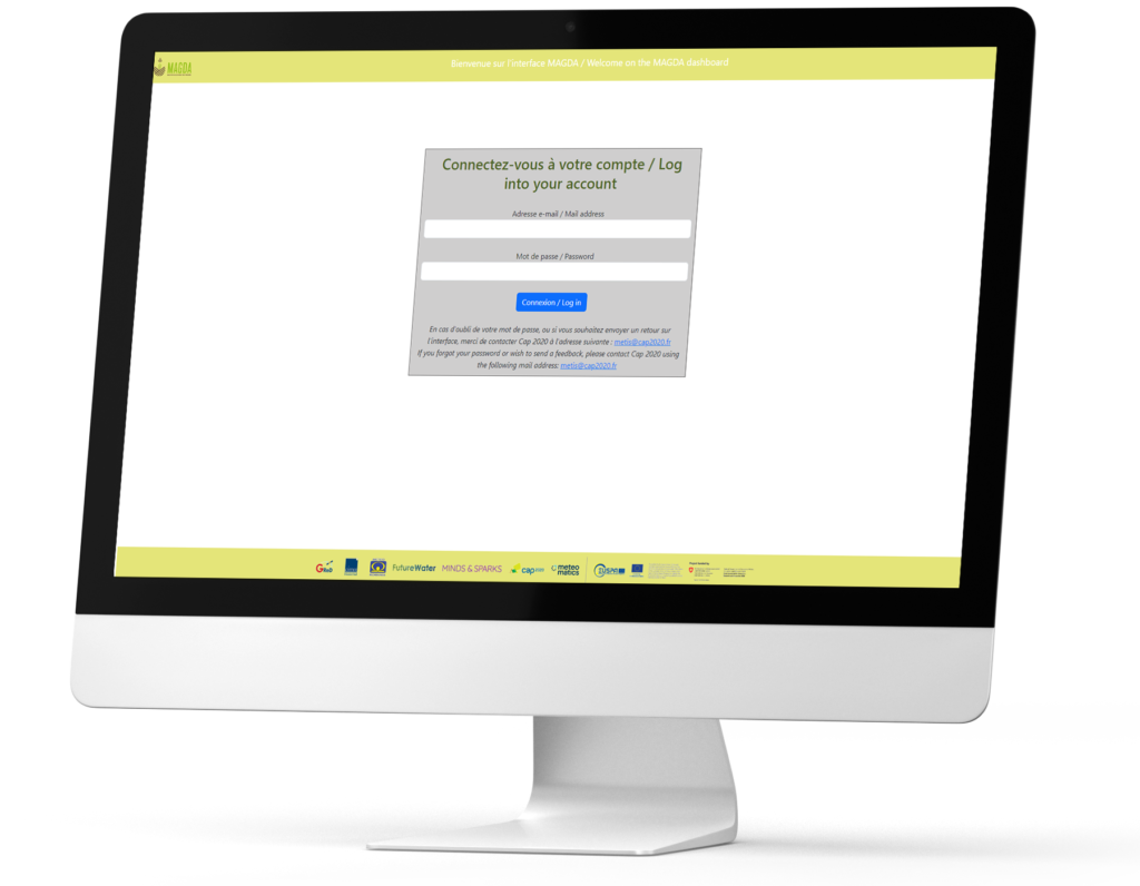
Check out the MAGDA Dashboard!
Our Project Objectives
EXPLORE
the untapped potential of assimilating GNSS (Galileo) derived, drone-derived, Copernicus EO-derived datasets, and in-situ weather sensors
DEVELOP
high-resolution and short-range numerical weather forecasts and hydrological models for irrigation performance and water accounting
PROVIDE
valuable information about severe weather and irrigation operations directly to farmers and agricultural operators
ENABLE
augmented short-term weather forecasts and irrigation advisories to farmers by a dedicated dashboard and Application Programming Interface (API)
DEPLOY
sensors, GNSS and drones, to monitor atmospheric variables at high spatial resolution in the vicinity of large farms and cultivated areas
INCREASE
awareness and impact through effective and measurable communication and dissemination activities
Project Summary
MAGDA aims to provide valuable weather and irrigation information directly to farmers and agricultural operators, by exploiting the strengths of atmosphere and soil sensing technologies.
The project is developing a toolchain for atmosphere monitoring, weather forecasting, and hydrological modelling with Europe’s Global Navigation Satellite System (GNSS) Galileo and the European Union's Earth observation (EO) programme Copernicus at its core. The major method is the assimilation of spaceborne, weather drone-derived and ground-based sensor data into very high-resolution numerical weather prediction models, which will also drive a hydrological model.
The project’s product will be the provision of severe weather warnings and irrigation as well as crop advisories to farmers by either a dedicated dashboard or by interfacing with a Farm Management System. The objectives of MAGDA go therefore beyond the state-of-the-art by developing a user-orientated system that can be deployed by farmers or famer associations directly at their premises, continuously feeding local ground and lower atmosphere observations to dedicated and tailored weather forecasts and hydrological models.
The developed system will improve the prediction of severe weather events (rainfall, snow, hail, wind, heat and cold waves) as well as of weather-driven agricultural pests. Moreover, in combination with the hydrological model it will improve irrigation performance and therefore increase food security and sustainable water management in Europe.
Popular categories
Lorem ipsum dolor sit amet, consectetur adipisicing elit, sed do eiusmod tempor incididunt ut labore et dolore magna aliqua
Balance in all things
We believe in equality in all things.
That's why our research layers are of equal size.


