Water balance simulations have been conducted for three pilot areas in France, Italy, and Romania utilizing the SPHY (Spatial Processes in Hydrology) simulation model. The primary objective was to demonstrate the accurate prediction of grid cell water balances, which is crucial for calculating daily irrigation requirements.
To demonstrate this, the initial step involved setting up the model and then calibrating its parameters using remote sensing data for a historical period (2015-2022) through a sensitivity analysis. A parameter set is chosen through the sensitivity analysis and with this set a further calibration with remote sensing data is done.
The spatial results (Figure 1) indicate a generally high correlation between the SPHY model’s evapotranspiration output and remote sensing data for the pilot areas in France and Italy, although adjustments to certain input parameters are needed for better performance. The Romanian sites show less correlation.
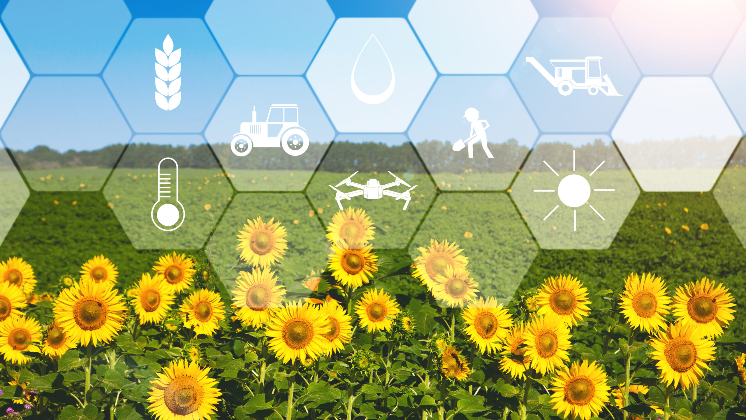
Agriculture greatly benefits from the Internet of Things (IoT), with various connected devices enhan
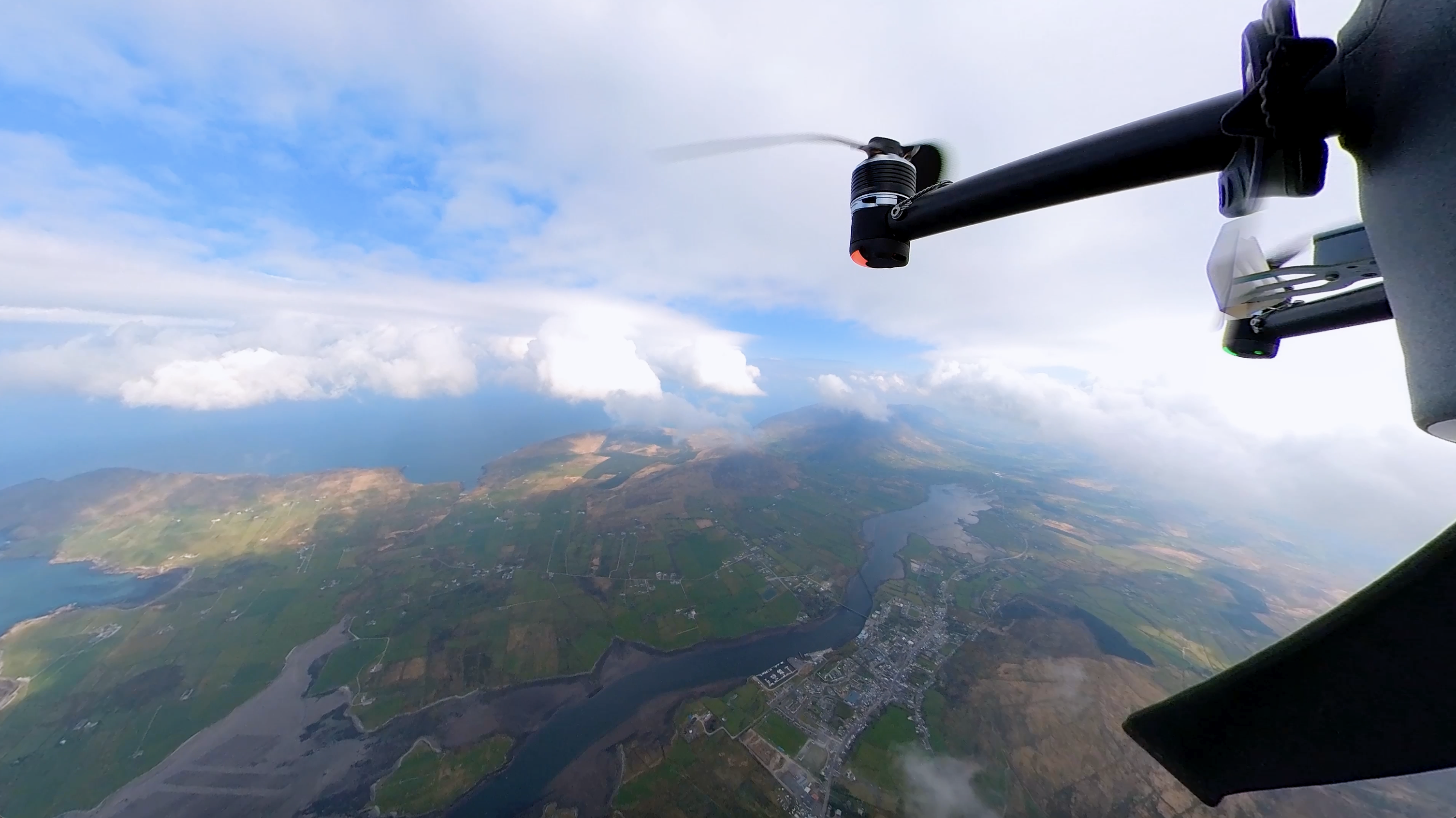
Thumbnail image: Meteodrone demo in Ireland on April 19, 2023 Meteomatics is preparing for the upco
On January 24th, 2025, the MAGDA consortium convened in Saluzzo, Italy, for a key project progress m