Water balance simulations have been conducted for three pilot areas in France, Italy, and Romania utilizing the SPHY (Spatial Processes in Hydrology) simulation model. The primary objective was to demonstrate the accurate prediction of grid cell water balances, which is crucial for calculating daily irrigation requirements.
To demonstrate this, the initial step involved setting up the model and then calibrating its parameters using remote sensing data for a historical period (2015-2022) through a sensitivity analysis. A parameter set is chosen through the sensitivity analysis and with this set a further calibration with remote sensing data is done.
The spatial results (Figure 1) indicate a generally high correlation between the SPHY model’s evapotranspiration output and remote sensing data for the pilot areas in France and Italy, although adjustments to certain input parameters are needed for better performance. The Romanian sites show less correlation.
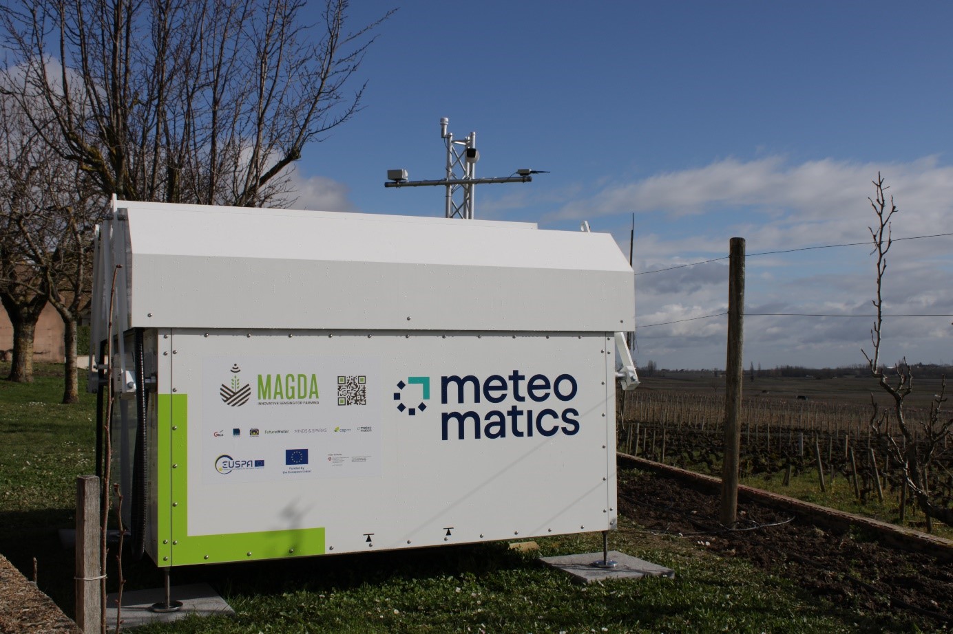
On March 5th, Meteomatics launched its Meteodrone system operations in Burgundy, France, specificall
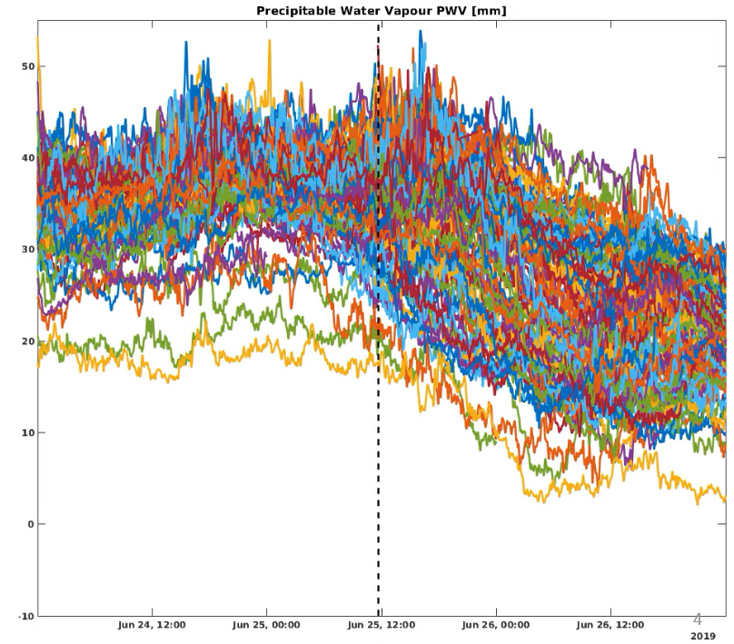
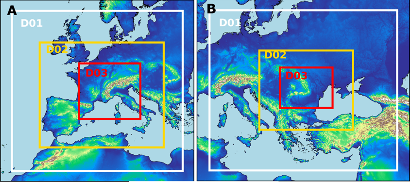
To evaluate the effectiveness of data assimilation routines of the NWP model across the three MAGDA
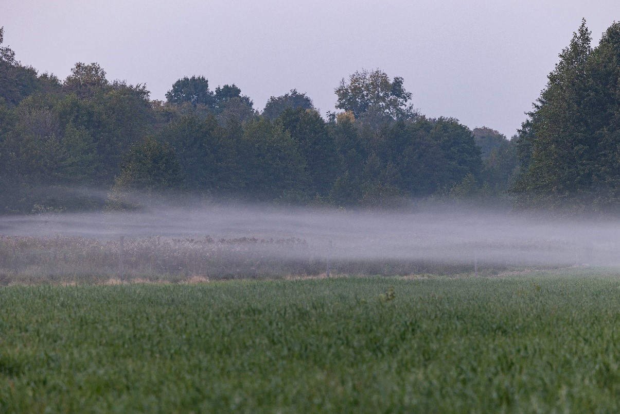
Explore the future of agricultural innovation with MAGDA. We strive to enhance weather forecasting b